SQL or Models in QGIS – you decide
- artlembo
- Sep 13, 2019
- 1 min read
In my previous post, I showed how to create a model in QGIS – I think that was pretty cool! But, as I say over and over, SQL is even cooler! I am republishing my video on using QGIS to create a model, but also including a video on how to accomplish the same this with SQL in Postgres and PostGIS.
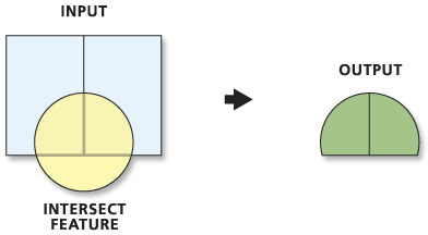
For background, here was the task: clip my parcels with a particular watershed (Cascadilla Creek), and then clip the result with the floodzones. With that result, I then wanted to summarize the spatial (area) and attribute data (assessment values by property class).
I think QGIS handled it pretty well. But, the video takes about 15 minutes to explain. In about a minute, we can accomplish the same thing with a small SQL query! Check it out, and tell me what you think.
These videos are part of my courses in Learning the FOSS4g Stack. If you would like to learn how to use free and open source GIS products, you can check out Learning the FOSS4g Stack: QGIS Desktop, and Learning the FOSS4g Stack: Spatial SQL with Postgres 11 and PostGIS. My next course Learning the FOSS4g Stack: Python and Geospatial will be out in October.


Comments